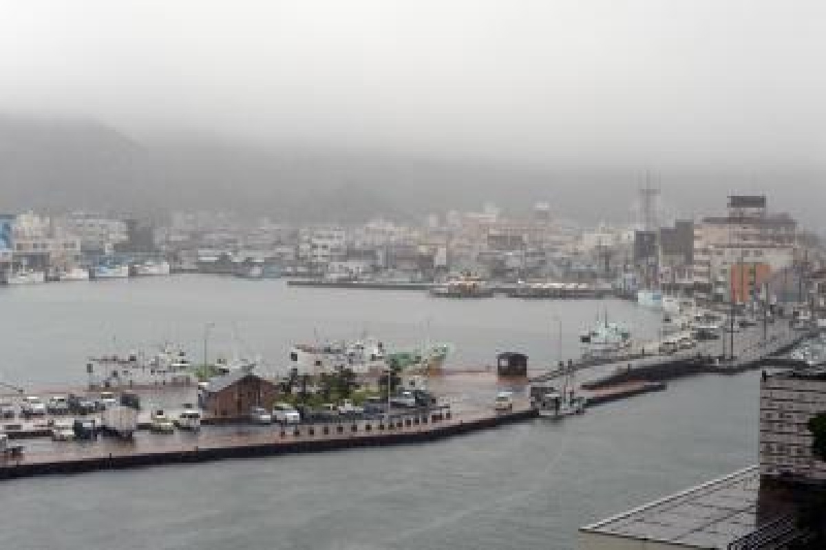
The Japan Metropolitan Agency (JMA) on Monday said a slow-moving typhoon Aere is expected to make landfall on the country’s main island of Kyushu later in the day, bringing with it torrential downpours.
The JMA said Aere was moving on a north-northeast trajectory in the East China Sea at a speed of about 15 km per hour, reports Xinhua news agency.
Advertisement
It said the typhoon had an atmospheric pressure of 996 hectopascals at its centre, with winds reaching 90 km per hour at its centre.
The powerful storm is forecast to alter its course and move eastward toward the Kyushu region and western parts of Japan, the agency said.
An evacuation advisory has been issued in Kyushu, by the city government of Nichinan, Miyazaki prefecture, according to local media, with 16,000 people being urged to leave their homes due to the risks of landslides.
A landslide warning is also in place for Miyazaki and Toyama, local officials said.
The weather agency has warned that by Tuesday morning up to 200 mm of rain is expected to lash southern Kyushu and Shikoku.
Northern Kyushu and the Kansai region, meanwhile, could see as much as 150 mm during the same time frame.
The Amami region, meanwhile, is forecast to receive 120 mm of rain, while Tokai and Kanto Koshin could be inundated with as much as 100 mm, the JMA said.
People in the affected regions are being urged to be vigilant for landslides and flooding in low-lying areas, as well as rivers bursting their banks.
The weather agency has also warned of seas swells, as well as lightning strikes and powerful gusts of winds.


