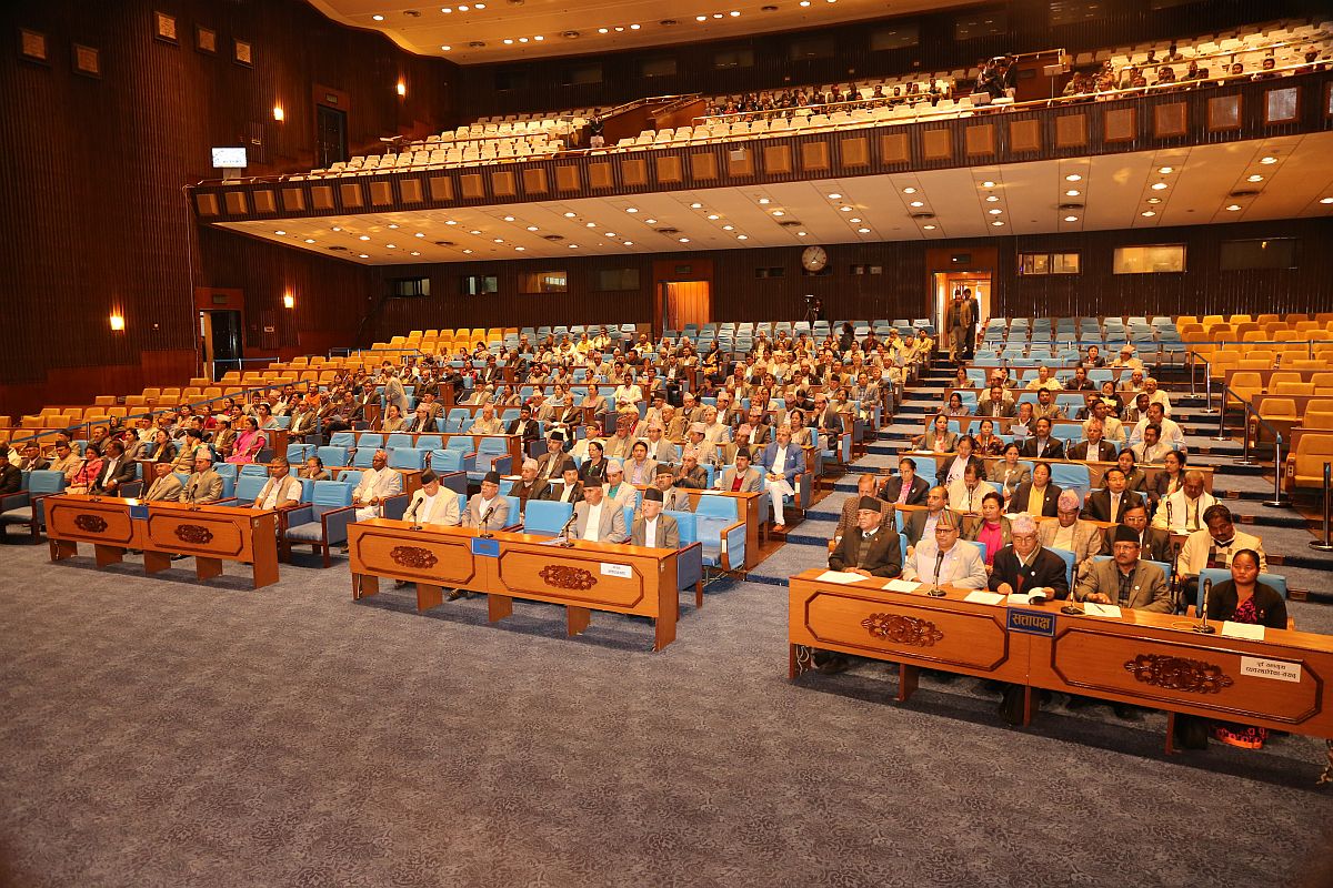
The parliament of Nepal on Saturday voted in favour of the constitutional amendment bill in a special session to update the country’s map. The updated map claims the area which comes under Indian Territory.
In the house with a total strength of 275 members, the 258 members were present and voting and all the votes went in favour of the Bill, which has sparked tension with its friendly neighbour India.
Advertisement
Prime Minister KP Sharma Oli’s party had cleared the map last month which ignited fierce criticism from India which termed it as a unilateral move on a ‘sensitive issue’.
Now from here, the Bill will go to the National Assembly where it will go a similar process, and it is anticipated that the bill will be passed there also.
Once it moves to the National Assembly, lawmakers will get 72 hours to move amendments against the bill’s provisions, if any.
According to Nepal’s local media portal eKantipur, at the four-hour long discussion in the House of Representatives that preceded the vote, PM KP Sharma Oli was asked several lawmakers to take the ‘next steps’ to reclaim control over the disputed areas.
Some lawmakers from the Communist Party of Nepal (Maoist) favoured continuing with some of the restrictions on movement of people at the border. The restriction is already in place due to the deadly coronavirus.
On June 9, Nepal’s House of Representative had unanimously endorsed the Constitution Amendment Bill to adopt a new map of the country which includes Indian areas of Kalapani, Lipulekh and Limpiyadhura.
The proposal was backed by Nepal Communist Party headed by Prime Minister K.P. Oli, the opposition Nepali Congress and Madhesi -based parties.
Nepal’s Parliamentary Affairs Minister Shivamaya Tumbahangphe had on May 30 tabled the bill for discussions in the Parliament to update the country’s map and amend the Constitution.
The fresh controversy erupted after Nepal, in a surprise move, issued a new political map which included Limpiyadhura, Lipulekh and Kalapani, areas which have been part of the Indian territory.
It cited the Treaty of Sugauli in which the East India Company had demarcated the border between India and Nepal. According to the treaty, the eastern side of the river Kali is Nepal’s territory while the western is India’s.
But the controversy revolves around the interpretation of the treaty. Nepal takes Limpiyadhura as the origin of river Kali and claims Limpiyadhura, Lipulekh and Kalapani as its region.
Whereas, India says that the origin of river Kali is Kalapani (Kali name coming from Kalapani).
An interesting point to be noted here is that Nepal’s claim came soon after the Border Road Organisation (BRO) constructed a road till Lipulekh pass, cutting down the travel time to Kailash Mansarovar by one week.
This region is very significant for India from security point of view as well, because it is bordering China with which India does not share a peaceful history.


