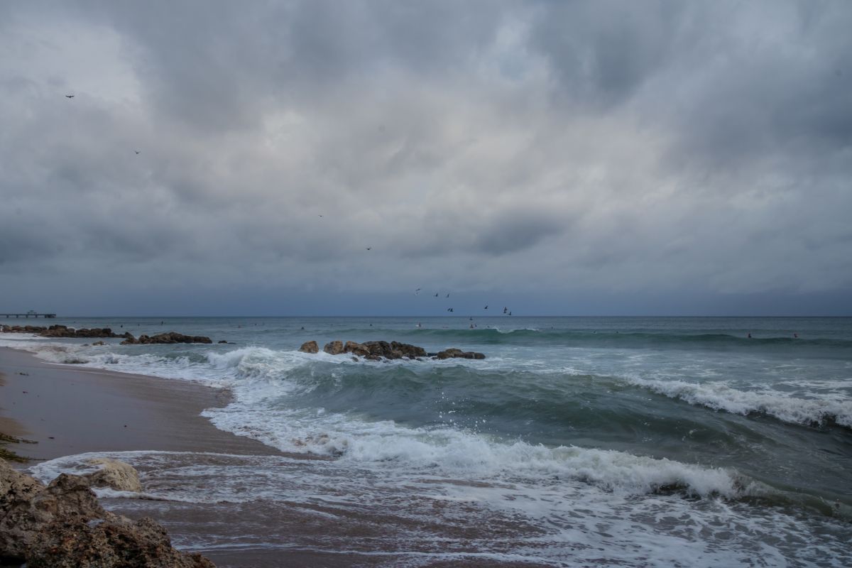
Hurricane Dorian is slowly moving northwest on Tuesday after brutally punishing the northern parts of the Bahamas for more than a day, the Miami-based National Hurricane Center (NHC) said.
The Category 2 storm, with winds of 110 mph, was lashing central Florida’s east coast the National Hurricane Center said.
Advertisement
Life-threatening storm surge and dangerous winds are expected along the state’s coast as well as along the coasts of Georgia, Florida and the Carolinas, regardless of the hurricane’s exact track, the center said.
“The flash flood threat will increase overnight along the Florida east coast, then spread up the southeast and mid Atlantic coast beginning on Wednesday”, the center added.
The NHC has issued a hurricane watch from north of Ponte Vedra Beach to Edisto Beach and from north of the South Santee River to Duck, North Carolina, as well as for Albemarle and Pamlico sounds.
A tropical storm warning has been issued from north of Deerfield Beach, Florida, to Jupiter Inlet and from north of Ponte Vedra Beach to Edisto Beach.
The NHC said a tropical storm watch was in effect for Lake Okeechobee.
In the Bahamas, Dorian killed at least five people and officials fear the death toll will climb as rescue teams reach areas devastated by the storm, with some officials saying the number of dead could be in the hundreds.
Bahamian Prime Minister Hubert Minnis said, “We are in the midst of a historic tragedy … the devastation is unprecedented and extensive”.
Images posted on social media by residents show the airport in Freeport, a major tourist destination, almost completely covered by water.
Houses in some areas of Grand Bahama, where Freeport is located, are covered to the roof by water, while many residents wait to be rescued.
Thousands of houses in the northern Bahamas were flooded by the storm surge from Dorian and streets look like flowing rivers.
Agriculture Minister Michael Pintard posted a video showing him trapped on the upper floor of his house, which is surrounded by water.
Pintard’s house is on the Grand Lucayan Waterway in Grand Bahama and the images show water up to the windows.
Reports in the past few hours said about 62,000 people on Grand Bahama and in the Abacos needed drinking water after flooding caused by the powerful hurricane contaminated wells with saltwater.
Rescuers have sometimes had to postpone their missions because fallen trees and other debris block their way, Bahamian Sen. Kwasi Thompson told ZNS, a national broadcaster.
On Monday, Lewis captured video showing Freeport’s main airport mostly underwater — a virtual lake lapping up against the windows of the building Lewis was standing in.
Bahamian officials said that it was still difficult to assess the number of casualties amid the dire conditions.
