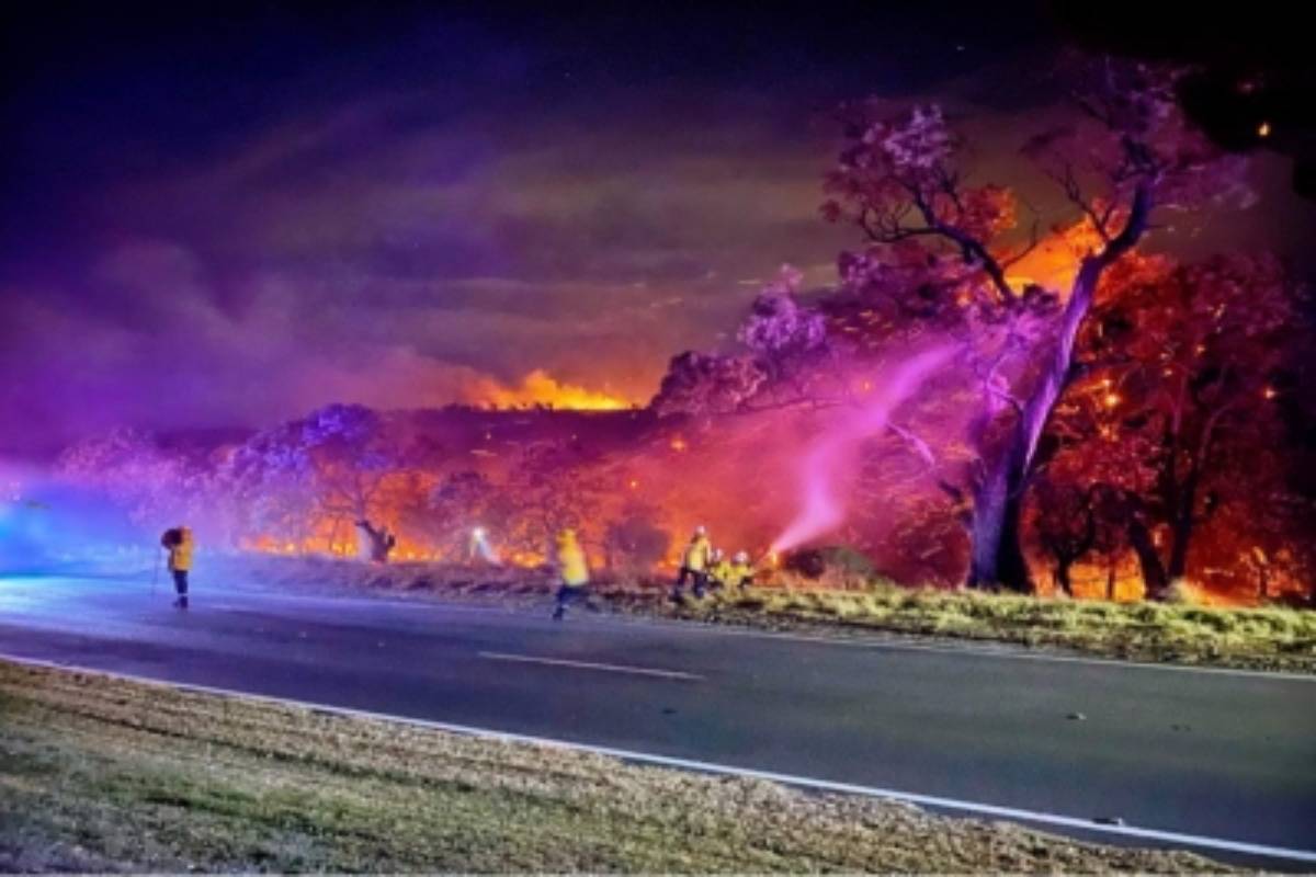
Extreme weather conditions are continuing to wreak havoc during Australia’s early summer season with flooding in the nation’s east and bushfires in the west.
The Bureau of Meteorology (BoM) forecast further showers and a possible severe thunderstorm throughout southeast Queensland on Thursday, including the state capital of Brisbane and the Gold Coast, adding to the previous day’s downpours where up to 70 mm of rain was recorded, reports Xinhua news agency.
Advertisement
The torrents caused Queensland’s third flood-related death within a month after a Brisbane woman’s car was swept from the road on Wednesday afternoon.
“Because of the rapidly rising water, and the speed at which the water was flowing, it took several hours to actually locate the vehicle,” a police officer told the national broadcaster ABC.
The neighbouring state of New South Wales (NSW) is also bracing for further turbulent conditions with forecasts of up to 200 mm of rain falling in the state’s southeast by the end of the week.
The BoM said the rain pattern was due to a low-pressure trough moving east, meeting with a band of humid air.
The eastern states’ prolonged thundery conditions, exacerbated by the La Nina weather phenomenon, have already led to the wettest November since the BoM began its records in 1900.
Meanwhile, on the other side of the nation, Western Australian (WA) firefighters and water-bombers have been battling bushfires in the state’s southwest triggered by a record-breaking heatwave.
Several campgrounds, wineries and tourist attractions were evacuated near Margaret River as a fierce blaze raged on Wednesday.
It is only the second time in 90 years that the WA capital of Perth has sweltered through temperatures of above 30 degrees Celsius for seven consecutive days so early in summer.


