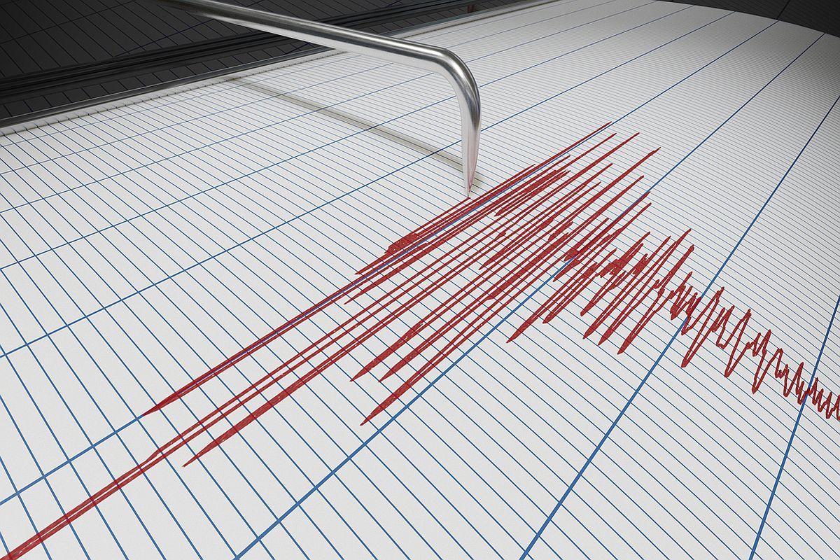
The India-Nepal border region experienced an earthquake of magnitude 4.3 on the Richter scale. The earthquake occurred near Api, Sudurpashchim Province in Nepal on Saturday, April 12 at 1:02 PM Indian Standard Time (IST), as per My Earthquake Alerts–an earthquake monitoring app.
Earlier today, an earthquake of magnitude 5.3 on the Richter scale hit Pakistan at 1:00 PM IST, according to the National Center for Seismology.
Advertisement
People in Srinagar, Jammu, Shopian and several other parts of Kashmir region felt the tremors.
Seismologically, Kashmir Valley is situated in an earthquake-prone region, where earthquakes in the past have wreaked havoc.
“The epicentre of the earthquake was in the Pakistan region. The earthquake occurred 10 km inside Earth’s crust. Mild tremors were also felt in J&K,” Mukhtar Ahmad, Director of MET Department, told the media.
Shallow earthquakes are generally more dangerous than deep earthquakes. This is because the seismic waves from shallow earthquakes have a shorter distance to travel to the surface, resulting in stronger ground shaking and potentially more damage to structures and greater casualties.
Pakistan is one of the most seismically active countries in the world, being crossed by several major faults. As a result, earthquakes in Pakistan occur often and are destructive.
Pakistan geologically overlaps both the Eurasian and Indian tectonic plates. Balochistan, the Federally Administered Tribal Areas, Khyber Pakhtunkhwa and Gilgit-Baltistan provinces lie on the southern edge of the Eurasian plate on the Iranian Plateau. Sindh, Punjab and Pakistan-occupied Jammu and Kashmir provinces lie on the north-western edge of the Indian plate in South Asia. Hence this region is prone to violent earthquakes, as the two tectonic plates collide.
Prior to this jolt, earlier in the day, Pakistan’s neighbor, Tajikistan was also struck by an earthquake of magnitude 4.2.
There were no immediate reports of casualties or major damage. Further details are awaited.