India’s top 500 pvt cos value more than total GDP: Report
These companies value higher than the GDP of India and the combined GDPs of UAE, Indonesia, and Spain.
The quake struck with the epicentre at 78 km southwest of Bangkulu Utara district and a depth of 11 km under the sea bed

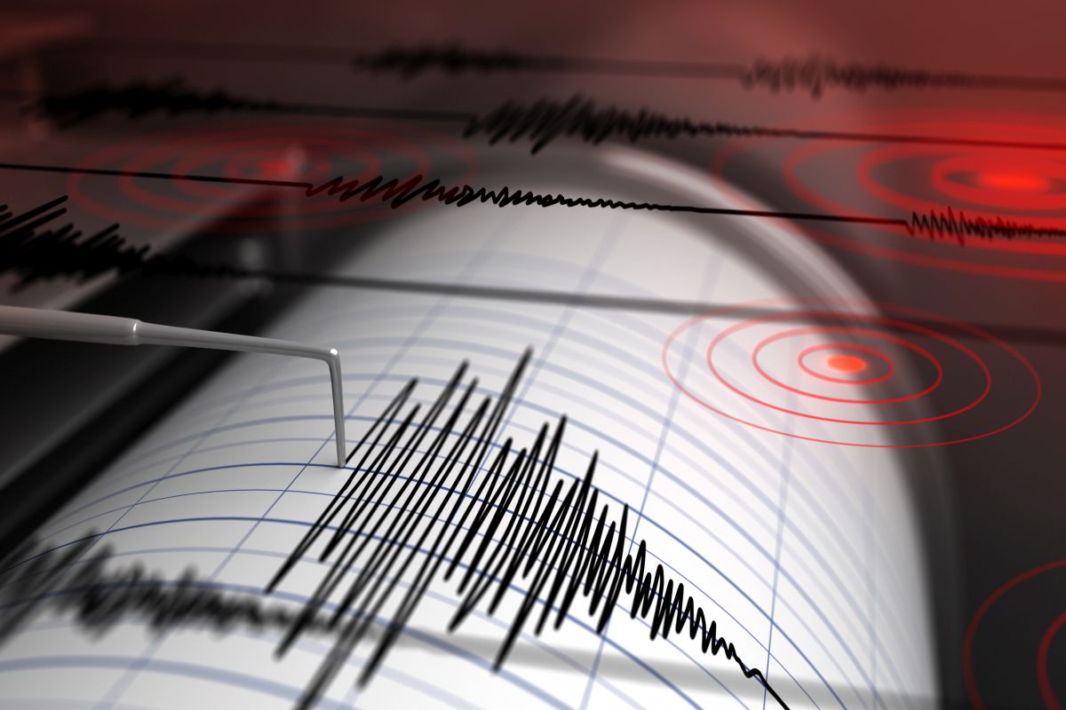
Representational image (Photo: IStock)
An earthquake measuring 6.8 on the Richter scale rocked Indonesia’s western Bengkulu province on Wednesday, the country’s meteorology and geophysics agency said.
The quake struck with the epicentre at 78 km southwest of Bangkulu Utara district and a depth of 11 km under the sea bed, according to a media report.
Advertisement
The intensity of the quake was felt at IV MMI (Modified Mercalli Intensity) in Kepahiyang district of the province, II MMI in Liwa, the capital of West Lampung district of Lampung province, II MMI in Padang, the provincial capital of West Sumatra, Painan town and Mentawai islands district of the province.
Advertisement
Last month, an earthquake measuring 6.1 on the Richter scale rocked Indonesia’s western Central Java province.
On June 16, a strong 6.0 magnitude earthquake jolted Indonesia’s island of Bali.
In 2018, a 7.5-magnitude quake and a subsequent tsunami in Palu on Sulawesi island left more than 4,300 people dead or missing.
Nearly 60,000 people are still living in makeshift accommodation nearly a year after the double disaster, the Red Cross last month.
In 2004, a devastating 9.1-magnitude earthquake jolted the coast of Sumatra and triggered a tsunami that killed 220,000 throughout the region, including around 170,000 in Indonesia.
Indonesia is frequently hit by earthquakes as it sits on a vulnerable quake-impacted zone called “the Pacific Ring of Fire”.
Advertisement