Ganga water in Haridwar unsafe for drinking, suitable for bathing
The Ganga river water in Haridwar was found to be in 'B' category, making it unsafe for drinking but suitable for bathing, said Uttarakhand Pollution Control Board on Wednesday.
Scientists documented many river-course changes, called avulsions, including some in response to earthquakes.

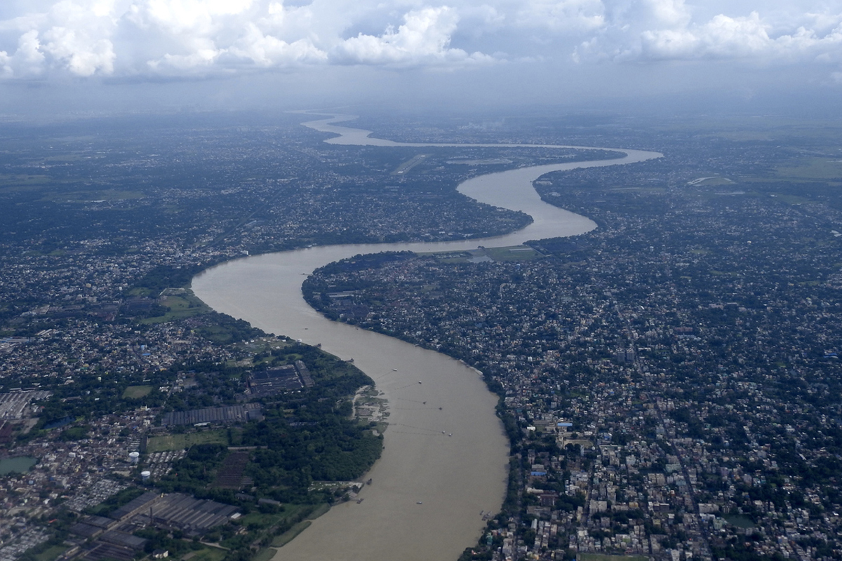
Ganges River( file photo)
A team of US researchers on Monday said that a major earthquake of magnitude 7 or 8 around 2,500 years ago changed the course of the Ganga River and a densely-populated region in Bangladesh remains vulnerable which could see cascading effects of shaking if another big quake occurs.
The study led by geophysicists at the Columbia Climate School in the US, published in the journal Nature Communications, said the previously undocumented quake rerouted the main channel of the Ganga River in what is now densely populated Bangladesh, which remains vulnerable to big quakes.
Advertisement
Scientists documented many river-course changes, called avulsions, including some in response to earthquakes.
Advertisement
“It was not previously confirmed that earthquakes could drive avulsion in deltas, especially for an immense river like the Ganges,” said lead study author Liz Chamberlain, an assistant professor at the Netherlands’ Wageningen University.
In satellite imagery, Chamberlain and the team spotted what they say was probably the former main channel of the river, some 100 kilometres south of the Bangladeshi capital of Dhaka.
This is a low-lying area about 1.5 kilometres wide that can be found intermittently for some 100 kilometres more or less parallel to the current river course.
Filled with mud, it frequently floods and is used mainly for rice cultivation.
Chamberlain and other researchers came across a freshly dug excavation for a pond that had not yet been filled with water.
They spotted sand volcanoes which erupt at the surface. Called seismites, they were 30 or 40 centimetres wide, cutting up through 3 or 4 meters of mud.
Further investigation showed the seismites were oriented in a systematic pattern, suggesting they were all created at the same time.
Chemical analysis of sand grains and particles of mud showed that the eruptions and the abandonment and infilling of the channel both took place about 2,500 years ago.
Furthermore, there was a similar site some 85 kilometres downstream in the old channel that had filled in with mud at the same time.
The conclusion: This was a big, sudden avulsion triggered by an earthquake, estimated to be magnitude 7 or 8, according to the study funded by the US National Science Foundation.
A 2016 study led by Michael Steckler, a geophysicist at Lamont-Doherty Earth Observatory which is part of the Columbia Climate School, shows that these areas are now building stress, and could produce earthquakes comparable to the one 2,500 years ago.
The last one of this size occurred in 1762, producing a deadly tsunami that travelled up the river to Dhaka. Another may have occurred around 1140 CE.
“Large earthquakes impact large areas and can have long-lasting economic, social and political effects,” said Syed Humayun Akhter, vice-chancellor of Bangladesh Open University.
Advertisement