Nepal upset over India’s announcement to build road in Lipulekh
Bhattarai said that several questions have been raised as the government is silent on such serious issues related to nationalism.

Bhattarai said that several questions have been raised as the government is silent on such serious issues related to nationalism.

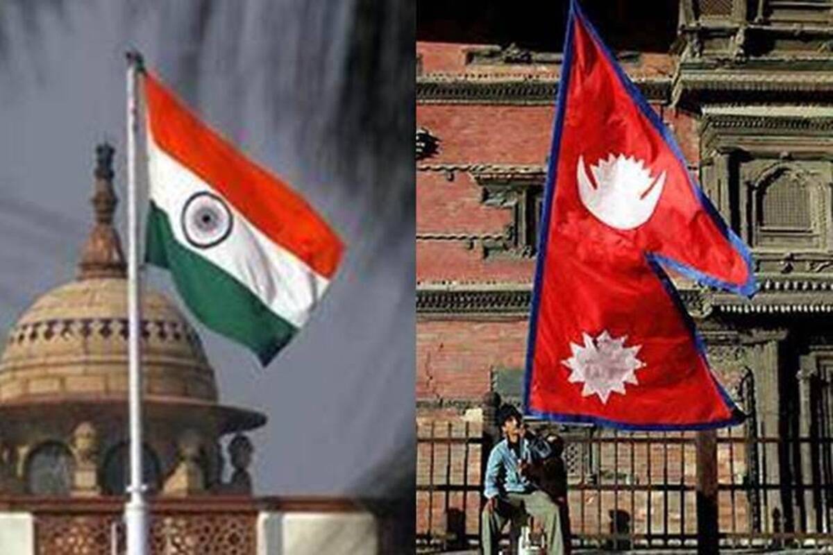
Tensions between India and Nepal escalated after Kathmandu, in a surprise move, issued a new political map which included Limpiyadhura, Lipulekh and Kalapani, areas which have been part of the Indian territory.

Around 36 hectares of land in four districts of Nepal, which border China, have been illegally occupied by China, but so far Nepalese government is tight-lipped about it.

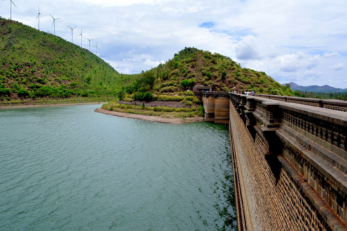
Minister for Water Resources, Sanjay Jha said that the Gandak barrage has 36 gates of which 18 are in Nepal and the neighbouring country has put barriers in the area where the flood-fighting material is present.

The lower house of the parliament had passed the bill on June 13, 2020.
Last Wednesday, 72 hours before the constitutional amendment, the government in Kathmandu had formed a nine-member team of experts to collect historical data related to Nepal’s suzerainty over Kalapani and Susta.
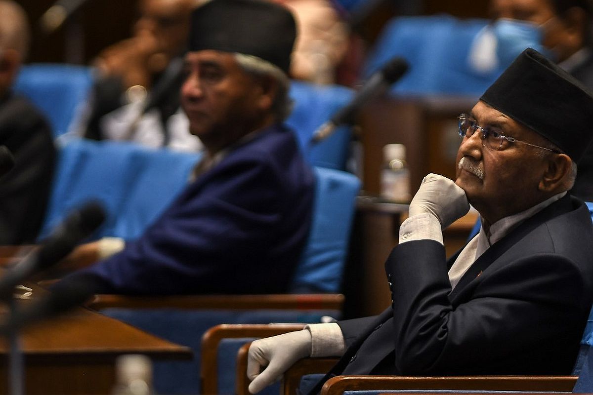
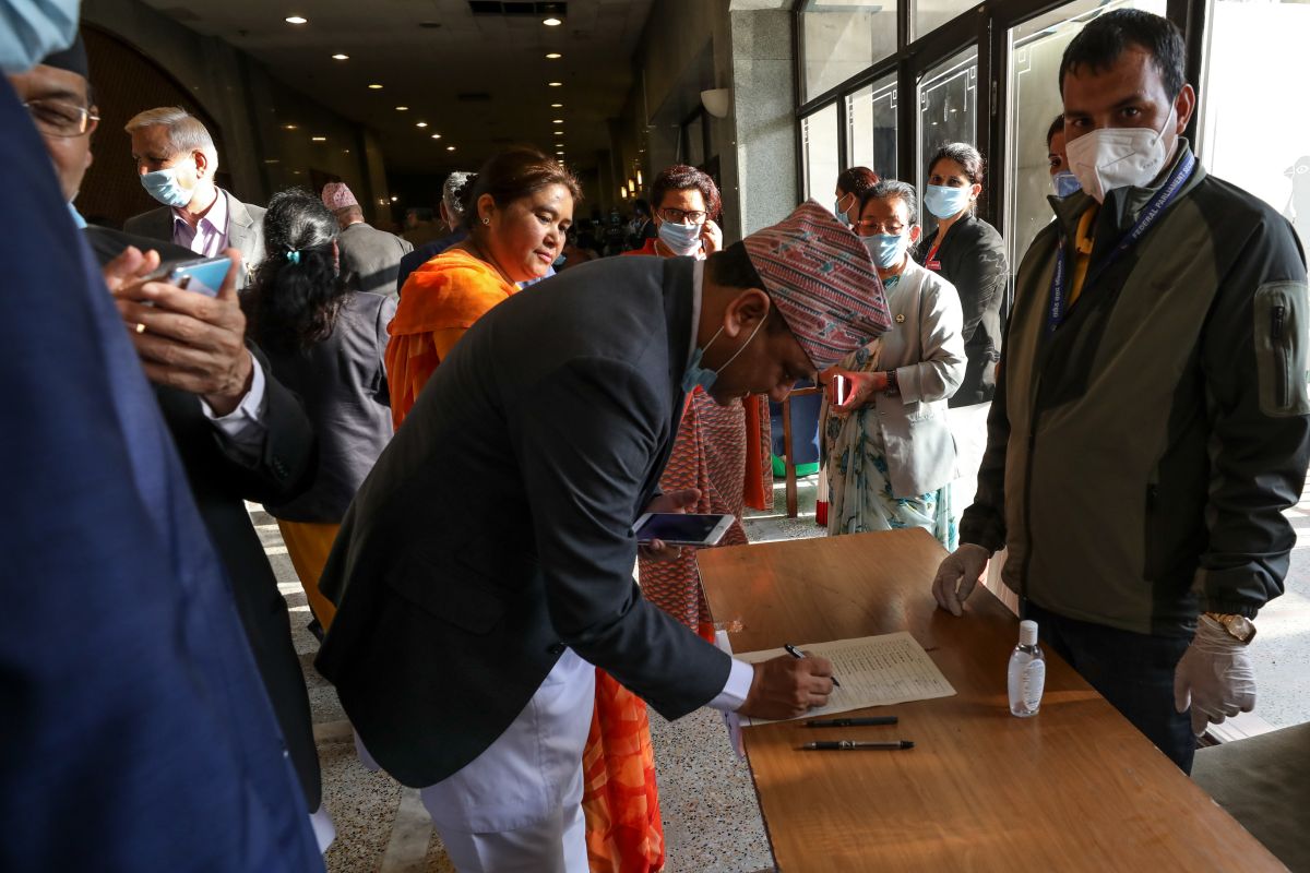
In a major setback for India, the parliament of Nepal on Saturday voted in favour of the constitutional amendment bill in a special session to update the country’s map claiming key areas of Lipulekh, Kalapani and Limpiyadhura along the border with India.
In the house with a total strength of 275 members, the 258 members were present and voting and all the votes went in favour of the Bill.
On June 9, Nepal's House of Representative had unanimously endorsed the Constitution Amendment Bill to adopt a new map of the country which includes Indian areas of Kalapani, Lipulekh and Limpiyadhura.
In its new map, Nepal claims the regions of Limpiyadhura in the West and also Kalapani and Lipulekh.