Cyclones in Bay of Bengal are getting slow passing through land: DG Meteorology
Movement of cyclones in Bay of Bengal after making landfall has become slower in the recent past.
The maximum number of tropical cyclones originating in the Bay of Bengal affects the Indian coast, but Odisha frequently bears the brunt of these natural phenomena, resulting in huge loss of life and property, an eminent scientist said on Thursday.
A cyclonic disturbance likely to develop over the Bay of Bengal may affect the Odisha coast on 23-25 October.
It was expected to lie over North West Bay of Bengal in the evening of Saturday and intensify into a depression over the same area on Sunday, it said.
This may lead to the formation of a low pressure area over north west and adjoining west central Bay of Bengal off the south Odisha and north Andhra Pradesh coast on Thursday afternoon.
The weather system moved west-northwestward and concentrated into a depression on October 22, 2022 at 8.30 am, close to west of Andaman Islands, the bulletin said.
Presiding over a state-level cyclone preparedness meeting in Bhubaneswar on Monday, state chief secretary said due to its geographical position and climate, the state is always prone to floods and storms. But there is no cyclone forecast in the next 15 days.
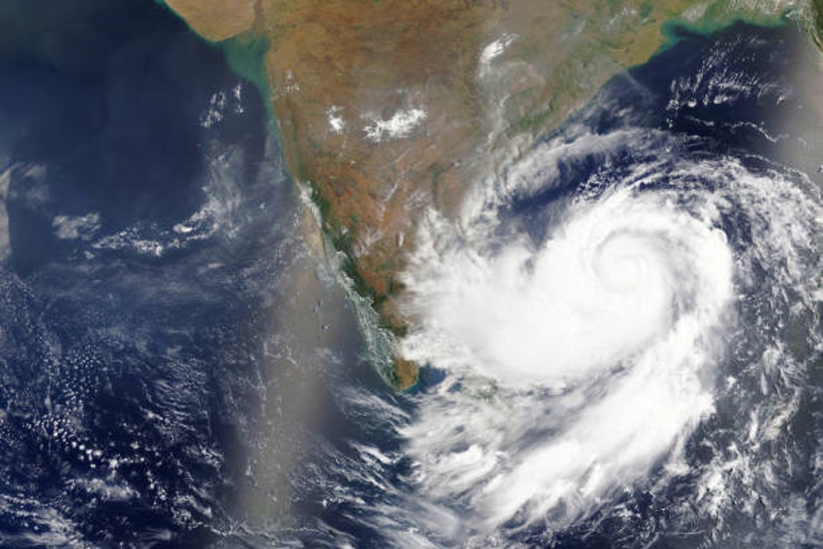
A deep depression over the southeast Bay of Bengal has intensified into cyclonic storm 'Asani' on Sunday after it moved west-northwestwards with a speed of 16 kmph, the India Meteorological Department (IMD) said.
Issuing an alert to all the District Collectors of Coastal District the Special Relief Commissioner and Additional Chief Secretary to Government (Disaster Management), Pradeep Kumar Jena on Thursday asked them to stay prepared for a possible cyclone over the Bay of Bengal.
The deep depression over the Bay of Bengal had intensified into a cyclonic storm which was centred about 530 km south-southeast of Gopalpur on Friday