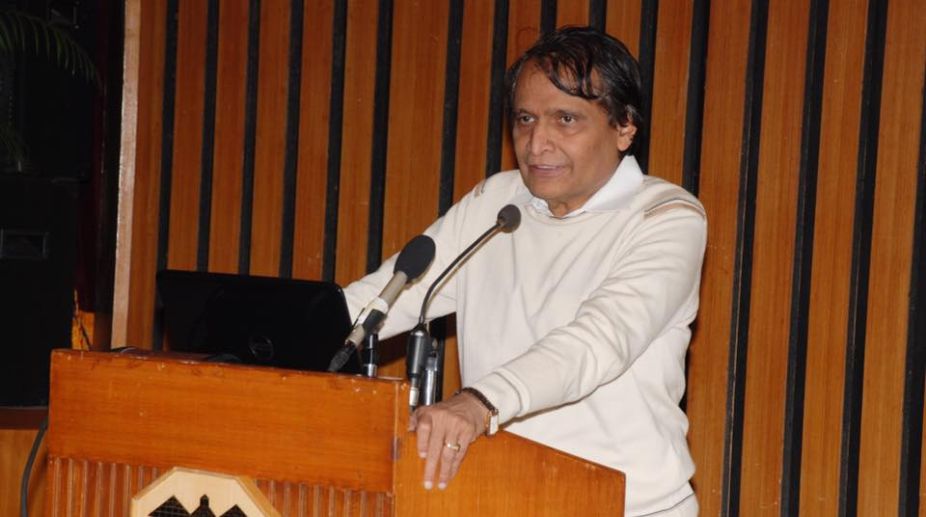
Satellite to identify barren areas for aquaculture: Suresh Prabhu
Satellite imagery will be used to systematically map brackish and barren tracts of land for development of aquaculture, which is…

Satellite imagery will be used to systematically map brackish and barren tracts of land for development of aquaculture, which is…