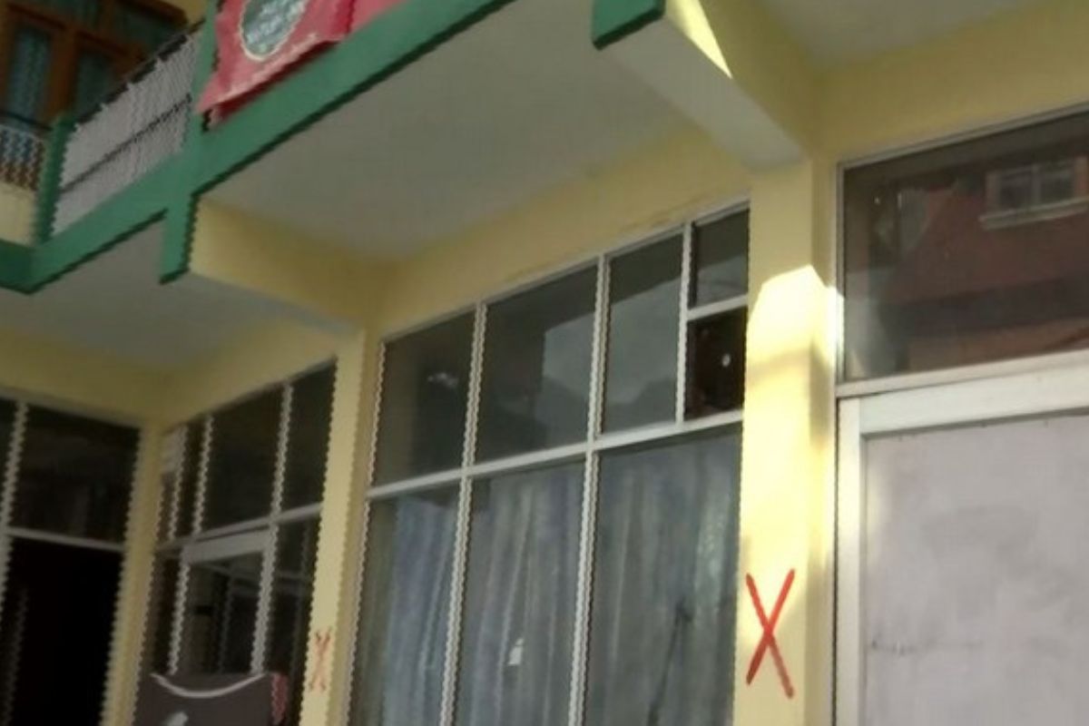
With the prevailing situation in Joshimath grim in the wake of the land subsidence incident, the Chamoli District Magistrate Himanshu Khurana said all dangerous buildings in the holy town have been marked with a red ‘X’ symbol.
After the district administration declared these buildings as “unsafe areas which are unfit for living”, the residents have been shifted to a safer place.
Advertisement
“Under the Disaster Management Act, we have marked some unsafe areas which are unfit for living. These areas include Sindhi Gandhinagar and Manohar Bagh,” Chamoli District Magistrate Himanshu Khurana told ANI on Monday.
Joshimath has been declared a ‘sinking zone’ in the wake of continuing land subsidence, with several homes and roads developing cracks over the last few days, driving residents outdoors and triggering fear.
Located at a height of 6150 feet (1875 m), Joshimath is a gateway to several Himalayan mountain climbing expeditions, trekking trails and popular pilgrim sites like Kedarnath and Badrinath.
More than 600 houses in the area have developed cracks in the wake of the landslide and subsidence, officials said.
Taking note of the situation, the Centre constituted a team of experts from seven different organisations to study and submit its recommendations after a high-level meeting on Joshimath.
The experts from the National Disaster Management Authority (NDMA), National Institute of Disaster Management, Geological Survey of India, IIT Roorkee, Wadia Institute of Himalayan Geology, National Institute of Hydrology and Central Building Research Institute have been tasked with assessing the situation and giving recommendations on preserving the holy town.


