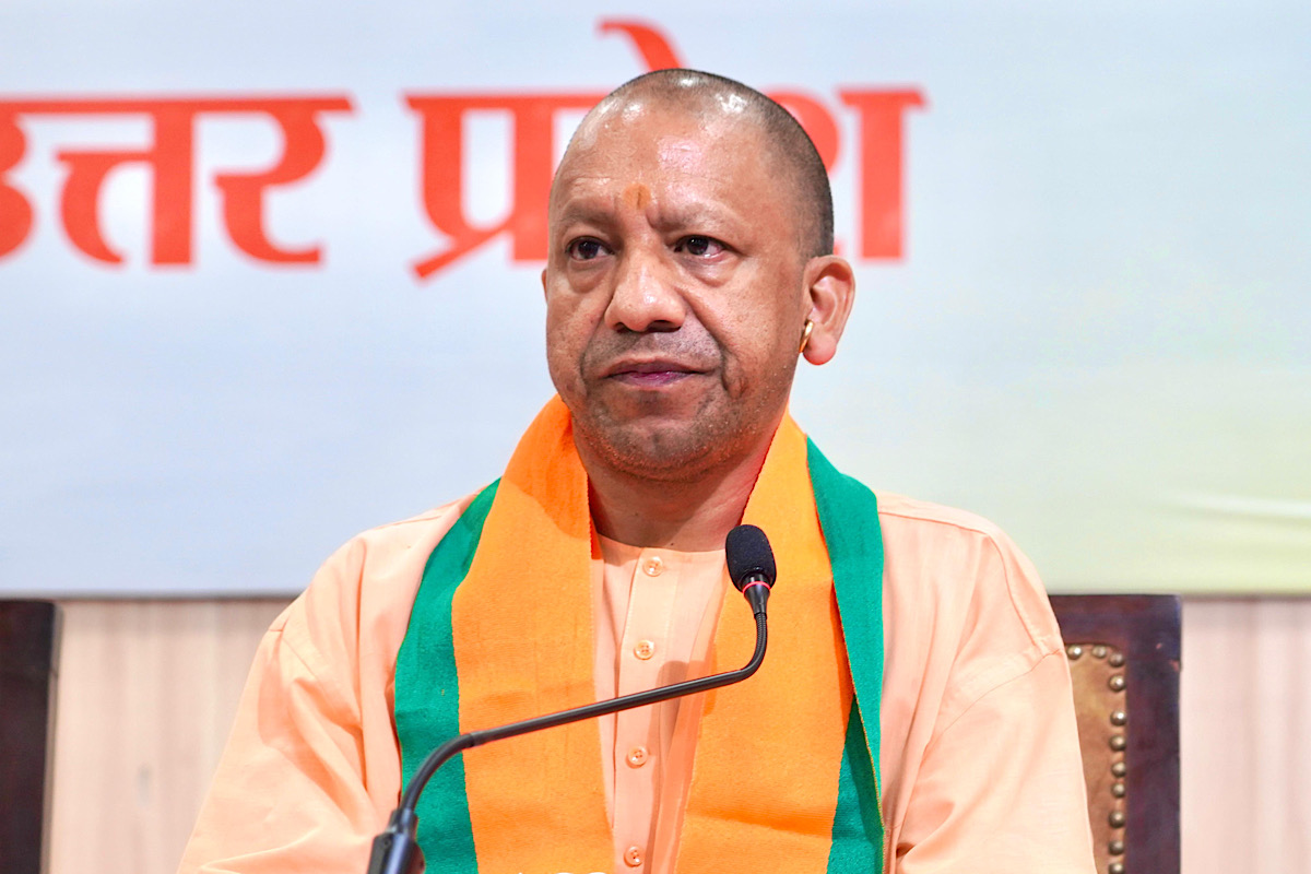
Uttar Pradesh Chief Minister Yogi Adityanath on Tuesday allayed fears of residents in Pantnagar, Indraprastha Nagar, Rahimnagar, and other areas in the state capital, who have been troubled for the past month by misleading reports about the demolition of their houses.
Addressing the concerns of the affected families, who visited the Chief Minister’s residence, Yogi Adityanath emphasised that whether in Pantnagar or Indraprastha Nagar, the state government is dedicated to ensuring the safety and peaceful living of all its residents.
Advertisement
“In the related case, the floodplain zone of the river has been marked in accordance with NGT orders. Private land is also included in the floodplain zone. However, there is currently no need or proposal to vacate the private land. There is no matter under consideration for the demolition of private buildings on private lands,” the CM informed them.
Furthermore, the Chief Minister noted that the signs put on the buildings during the floodplain zone markings have caused fear and confusion among the public. Emphasising that there cannot be any justification for putting the red mark on houses, Yogi said that accountability should be fixed in this regard.
The Chief Minister has also issued necessary instructions for improving cleanliness and public facilities in the said areas. He has directed officials to visit the area immediately, meet with the residents, and alleviate their fears and confusion.
Speaking to the affected families, the Chief Minister assured that if any building constructed on private land falls within the riverbed development zone and has certified private ownership, it will only be acquired after providing proper compensation according to the rules.
To revive the Kukrail River, flowing in the heart of the state capital, and make it pollution-free, the Irrigation Department recently marked the floodplain zone in compliance with NGT orders. The said action aligns with the National Mission for Clean Ganga (NMCG) notification issued in 2016.
Two zones of the Kukrail River have been marked: the riverbed and the floodplain zone. The riverbed has been designated at a width of approximately 35 metres, while the floodplain zone extends up to 50 metres from the riverbank, as marked by the Irrigation Department.
Many false claims were being spread by certain individuals about the floodplain zone marking, leading to an atmosphere of fear and confusion among the local community.
The government had already cleared the buildings in the Akbarnagar area, which falls within 35 metres and is identified as riverbed.


