‘Operation Brahma’: India sends two C-17 aircraft, more relief aid to quake-hit Myanmar, says MEA
In total, five flights providing relief material from India have arrived in Myanmar, MEA Spokesperson Randhir Jaiswal said.
During the visit, Nepal President Bidhya Devi Bhandari will confer the rank of the Honorary General of the Nepal Army on Gen Naravane.
SNS | New Delhi | October 15, 2020 11:08 am

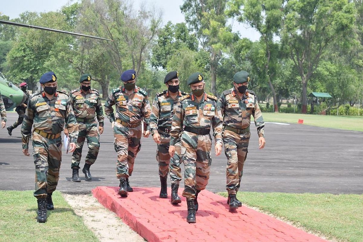
Chief of Army Staff, General MM Naravane. (File Photo: IANS)
After months of Nepal releasing the controversial map claiming Indian territories as its own, Indian Army chief General MM Naravane will visit Kathmandu next month.
It will be the first high-level delegation visit to the neighbouring country from India after the controversy happened.
Advertisement
Nepal Army, in a statement Wednesday, said the Indian Army chief “will visit Nepal in the month of November this year”. It said the visit was “approved by the Government of Nepal” on February 3, but “was postponed due to lockdown in both the countries”.
Advertisement
The two sides were in touch to decide the dates. During the visit, Nepal President Bidhya Devi Bhandari will confer the rank of the Honorary General of the Nepal Army on Gen Naravane — it’s a 70-year-old tradition, a reciprocal arrangement between the two armies since 1950, said Nepal Army spokesperson Brigadier General Santosh Poudel, reported Indian Express.
General Naravane had earlier suggested that Nepal might be raising the issue of Indian road construction via Lipulekh to Mansarovar at the “behest of someone else”.
On June 9, Nepal’s House of Representative had unanimously endorsed the Constitution Amendment Bill to adopt a new map of the country which includes Indian areas of Kalapani, Lipulekh and Limpiyadhura.
Nepal’s Parliamentary Affairs Minister Shivamaya Tumbahangphe had on May 30 tabled the bill for discussions in the Parliament to update the country’s map and amend the Constitution.
On May 28, India had said that it was open to engage with Nepal on the basis of mutual respect and in an environment of trust to resolve the boundary issue. This came after Nepal, in a surprise move, issued a new political map which included Limpiyadhura, Lipulekh and Kalapani, areas which have been part of the Indian territory.
It cited the Treaty of Sugauli in which the East India Company had demarcated the border between India and Nepal. According to the treaty, the eastern side of the river Kali is Nepal’s territory while the western is India’s.
But the controversy revolves around the interpretation of the treaty. Nepal takes Limpiyadhura as the origin of river Kali and claims Limpiyadhura, Lipulekh and Kalapani as its region.
Whereas, India says that the origin of river Kali is Kalapani (Kali name coming from Kalapani).
Advertisement
In total, five flights providing relief material from India have arrived in Myanmar, MEA Spokesperson Randhir Jaiswal said.
Curfew was imposed in certain areas of Nepal's capital Kathmandu on Friday as two people died and 45 others were injured in violent clashes between security personnel and pro-monarchy protesters.
The Fleur-De-Lis Brigade has achieved a groundbreaking milestone in tactical drone warfare by successfully developing, testing, and validating an FPV drone equipped with an impact-based, kamikaze-role anti-tank munition—the first-of-its-kind project in the Indian Army.
Advertisement
