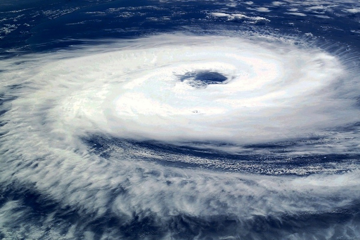
The cyclonic storm “Tauktae” is likely to intensify further in the next 24 hours over the east central Arabian Sea.
The National Weather Forecasting Centre of the India Meteorological Department said that the cyclone is likely to move north-northwestwards and reach Gujarat coast in the evening hours of May 17 and cross Gujarat coast between Porbandar and Mahuva (Bhavnagar district) around May 18 early morning.
Advertisement
“Tauktae” moved nearly northwards with a speed of about 11 kmph during past 6 hours and lay centered at 5.30 a.m. on Sunday over east central Arabian Sea near latitude 15.0 degree North and longitude 72.7 degree East, about 130 km west-southwest of Panjim-Goa, 450 km south of Mumbai, 700 km south-southeast of Veraval (Gujarat) and 840 km southeast of Karachi (Pakistan).
In Kerala, light to moderate rainfall at many places with heavy to very heavy falls at isolated places on Sunday and heavy falls at isolated places on May 17 is likely to take place.
The IMD forecast mentions light to moderate rainfall at most places in Karnataka (coastal and adjoining Ghat districts) with heavy to very heavy rainfalls at isolated places later in the day on Sunday.
The storm will bring with it moderate rainfall in large areas in Lakshadweep Isles with heavy to very heavy spells in someplace with extremely heavy rains in isolated places from today (May 14) till Sunday, the IMD said.
In Kerala, heavy to very heavy rains are likely on Saturday and heavy to very heavy rainfall at isolated places on Sunday and Monday, according to the IMD.
The cyclone would trigger heavy rains in Mumbai, southern Konkan region’s Raigad, Ratnagiri and Sindhudurg districts of Maharashtra, parts of Goa and Gujarat over the next three days till it reaches the Gujarat coast on Tuesday.
As per the IMD forecast, Gujarat will start getting rains from May 17 onwards with heavy to very heavy rains at few locations in Kutchh and Saurashtra regions and isolated heavy to very heavy spells in Kutchh on May 19.
Ratnagiri and Sindhudurg are likely to witness very heavy rains on Sunday and Monday, while Mumbai, Thane and Raigad will be clobbered with a very heavy downpour on Monday, besides thunderstorms in Satara, Kolhapur, parts of the Western Ghats and Pune over Sunday and Monday.
Coastal Maharashtra, especially the south Konkan region, could be lashed by squalls reaching speeds of up to 60 kmph on Saturday, and increasing to up to 80 kmph on Maharashtra-Goa coasts on Sunday, besides very rough seas.
(With IANS inputs)


