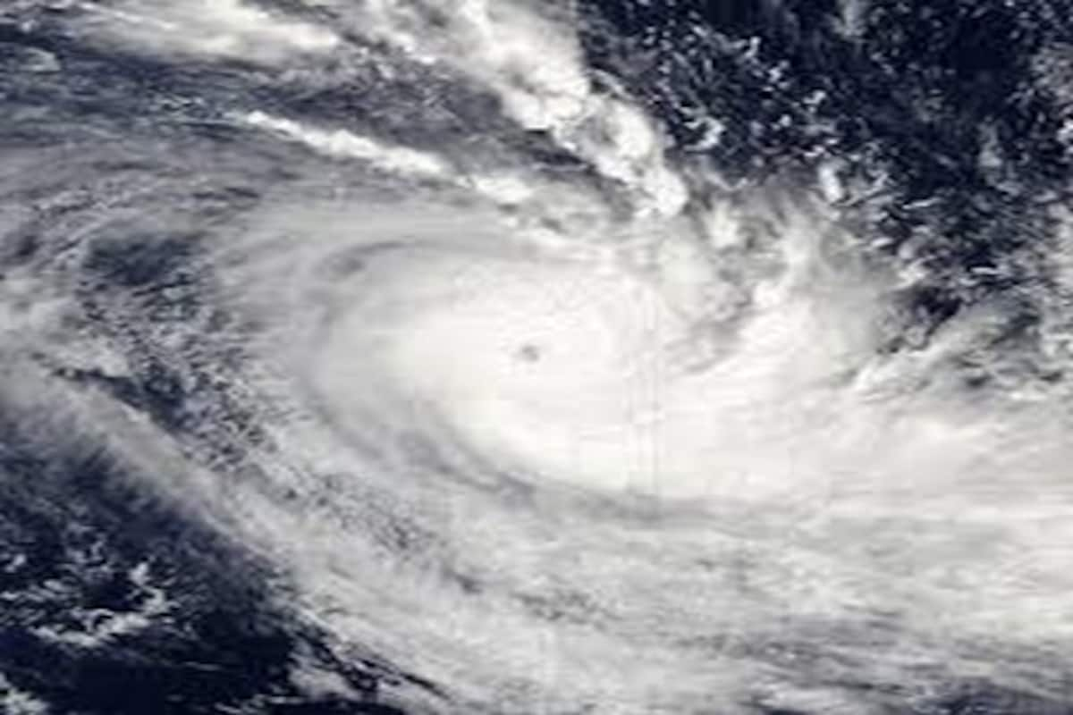
Under the influence of Cyclone Sitrang, a red alert indicating heavy to very heavy and extremely heavy rainfall has been issued for Assam, Meghalaya, Mizoram, and Tripura on Monday.
Widespread rainfall accompanied by thunderstorms, lightning, and heavy to very heavy and extremely heavy rain at isolated places is very likely to occur over Tripura on Monday and Tuesday, said the India Meteorological Department (IMD) on Monday.
Advertisement
“Under Sitrang influence, widespread rainfall accompanied by thunderstorms/lightning/heavy to very heavy and extremely heavy rain at isolated places is very likely to occur over Tripura on 24th & 25th October 2022,” IMD said in a press release.
Earlier today, the West Bengal government was witnessed taking all the precautionary measures, including evacuation of people, and supply of relief material to shelters, to deal with possible devastation under the impact of Cyclone ‘Sitrang’.
Civil defence teams are deployed at Bakkhali Sea Beach in South 24 Parganas. Tourists are not allowed to visit the beach and the shops have also been closed.
West Bengal Chief Minister Mamata Banerjee on Monday appealed to the people to “stay alert” as there is a high chance of rain on Tuesday due to cyclone Sitrang.
“There is a high chance of rain on October 25. There is an appeal to the people to avoid going out unnecessarily or to the sea areas including the Sundarbans. The state govt has made arrangements,” said CM Mamata Banerjee.
The cyclonic storm “Sitrang” pronounced as “Si-Trang” over the northwest and adjoining the central Bay of Bengal crossed the Bangladesh coast between Tinkona and Sandwip close to Barisal from 9:30 pm to 11:30 pm on Monday with a maximum sustained wind speed of 80-90 kmph gusting to 100 kmph, IMD said.
“It lay centered at 11:30 pm on Sunday over coastal Bangladesh near latitude 23.70N and longitude 90.80E, about 40 km east of Dhaka, 50 km west-southwest of Agartala, and 120 km north-northeast of Barisal (Bangladesh),” IMD officials said.
“The cyclone is very likely to continue to move north-northeastwards and weaken into a depression during next 6 hours and further into a well-marked low-pressure area during subsequent 6 hours,” it further said.


