Ed Westwick spotted in Mumbai, excited for India-Pakistan cricket showdown
Beyond cricket, there’s more excitement in Westwick’s personal life. The actor and his wife, actress Amy Jackson, are expecting their first child together.
The storm will create waves as high as two metres above the astronomical tide, which will inundate the low-lying coastal areas of Mumbai, Thane and Raigad districts during the landfall, meteorological department has said.

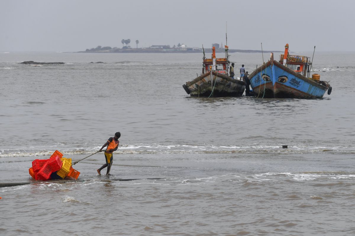
Representation image (Photo by INDRANIL MUKHERJEE / AFP)
Mumbai is bracing itself for severe cyclonic storm Nisarga which is expected to make its landfall at Alibag at noon on Wednesday according to meteorological department. The cyclone is also going to hit Gujarat’s Surat some time in the evening.
The met department has said that the wind conditions will further increase upto 100-110kmph gusting to 120 kmph as conditions are favorable for intensification. The higher Sea surface temperature and low vertical wind shear favored the intensification of severe cyclonic circulation.
Advertisement
Wind conditions will further increase upto 100-110 gusting to 120 kmph as conditions are favorable for intensification. The higher Sea surface temperature and low vertical wind shear favored the intensification of severe cyclonic circulation.
Advertisement
— India Met. Dept. (@Indiametdept) June 3, 2020
The met department also said that the eye of the storm can be observed. In a tweet it said, “Eye diameter is about 65 km as observed through Radar. thus the diameter has decrease during past 01 hour indicating intensification of system. hence wind speed has increased from 85-95 kmph to 90-100 kmph gusting to 110 kmph,”
The storm will create waves as high as two metres (three to 6.5 feet) above the astronomical tide, which will inundate the low-lying coastal areas of Mumbai, Thane and Raigad districts during the landfall, the weather department has said.
Prime Minister Narendra Modi also took stock of the situation and spoke to Maharashtra Chief Minister Uddhav Thackeray on Tuesday.
PM @narendramodi has spoken to CM of Maharashtra Shri Uddhav Thackeray, CM of Gujarat Shri @vijayrupanibjp and Administrator of Daman Diu, Dadra and Nagar Haveli Shri @prafulkpatel regarding the cyclone situation. He assured all possible support and assistance from the Centre.
— PMO India (@PMOIndia) June 2, 2020
This will be the first time that a cyclone will make landfall on the Maharashtra coast in June since record-keeping began in 1891. The cyclone is likely to cross north Maharashtra and south Gujarat coasts between Harihareshwar town in Raigad district and Daman as a severe cyclonic storm on Wednesday.
In the wake of the cyclonic storm, 15 teams of National Disaster Response Force (NDRF) have been deployed in Maharashtra – 3 teams in Mumbai, 4 in Raigad, 2 each in Palghar, Thane and Ratnagiri and 1 each in Sindhudurg and Navi Mumbai.
Meanwhile, another 16 NDRF teams are being deployed in Gujarat. The IMD has said that when the severe cyclone storm Nisarga crosses the coast on the evening of June 3, it will have a speed of 105-110 kmph. Heavy rains are also expected in south Gujarat and coastal Maharashtra.
Advertisement