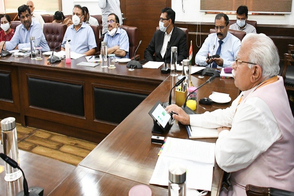
Haryana Chief Minister, Manohar Lal Khattar, on Monday, said to ensure quick disposal of various types of surveys, girdawari, and imaging work the State Government has constituted Drone Imaging and Information Service of Haryana Limited (DRIISHYA).
He said now the usual problems faced while conducting manual surveys in Haryana every year would diminish and surveys would be conducted in a scientific manner.
Advertisement
Presiding over the first meeting of the board of directors of DRIISHYA today, the CM said manual surveys which are conducted at regular intervals are very time-consuming, costly, and require more manpower. However, now with the help of drones, illegal encroachments can also be controlled along with detection of expansion of area without planning.
Khattar said information can also be collected for image analysis. In this way, the drone system will resolve many problems. He said this is a unique beginning in the state.
Besides using it in the revenue department, it can be used in the departments of mining, forest, traffic, town and country planning, agriculture, etc. He said the headquarters of this company has been set up in Karnal and it will be the nodal agency for procurement of drones. He elaborated that it would help in mapping, land records, disaster management, and emergency services, planning development in the urban areas.
Besides this, 25 agendas were approved in the meeting. The CM has been nominated as the Chairman of DRIISHYA and chief secretary Vijai Vardhan has been appointed as the senior vice-chairman.
Apart from this, 10 directors have been appointed on the Board and TL Satyaprakash has been appointed as the chief executive officer of the company, and deputy commissioner, Karnal, Nishant Yadav has been appointed as additional chief executive officer.


