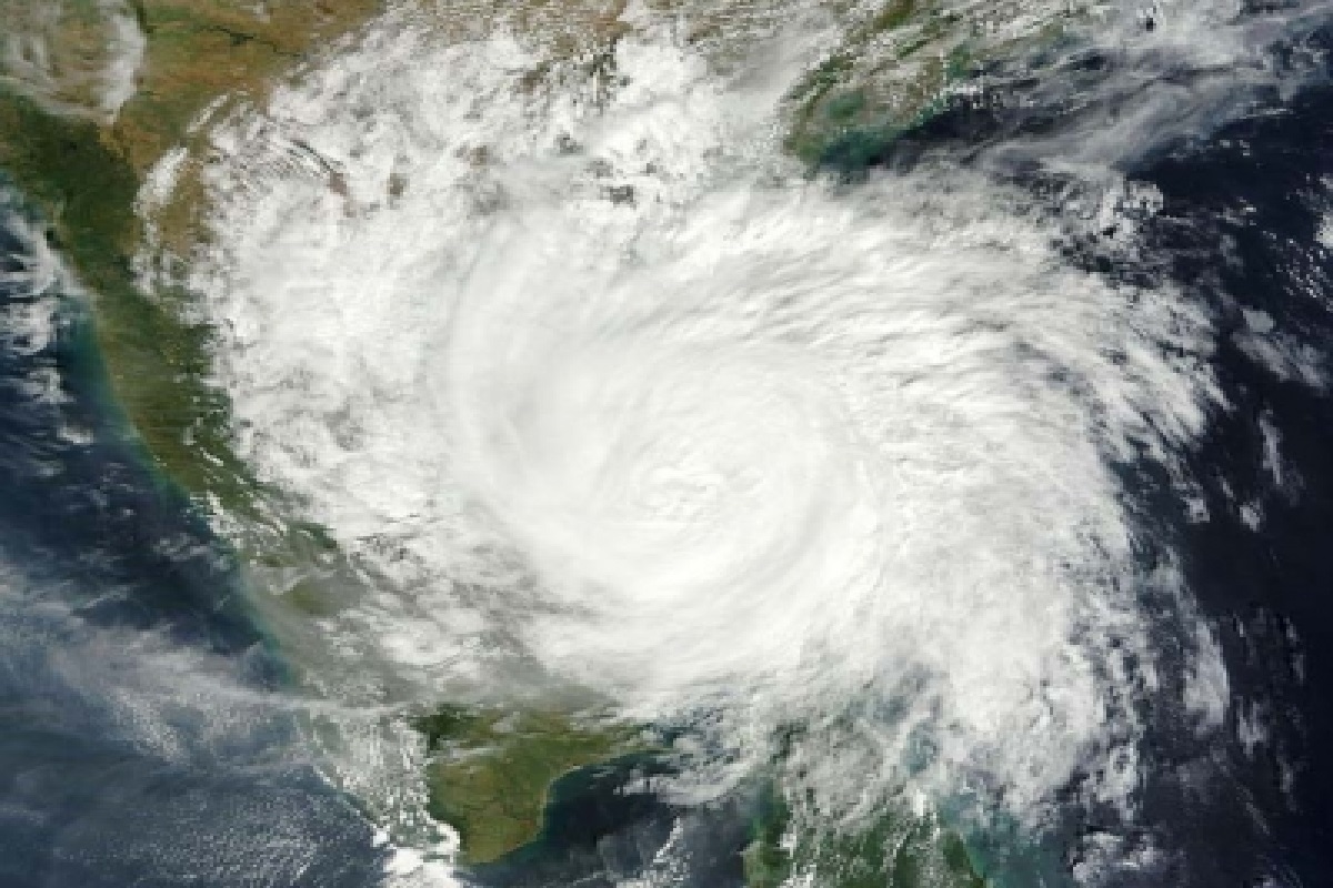
A low pressure area, formed over equatorial Indian Ocean and adjoining southwest Bay of Bengal (BOB) in the evening hours of 15 March, is likely to intensify into a cyclonic story around 22 March, said India Meteorological Department (IMD) on Wednesday.
It lay over central parts of south Bay of Bengal on Wednesday and is likely to move east-northeast wards to become a well marked low pressure area over southeast BOB and adjoining south Andaman sea around 19 March.
Advertisement
Thereafter, it is likely to move north-northwestwards initially along & off Andaman & Nicobar Islands, intensify into a depression on 20 March and into a cyclonic storm around 21 March. It would then continue to move north-northwestwards till 22 March.
Thereafter, it will move north-northeast wards and reach near Bangladesh and adjoining north Myanmar coast around 23 March, IMD’s latest weather bulletin said.
Meanwhile dry weather prevailed over the districts of Odisha. Dense fog has occurred at one or two places over the district of Jajpur and shallow fog has occurred at one or two places over the district of Balasore of north coastal Odisha.
Maximum temperatures observed no large change over Odisha. They were appreciably above normal at many places over North Interior Odisha, at one or two places over North Coastal Odisha & South Interior Odisha, above normal at many places over Coastal Odisha, at a few places over South Interior Odisha, at one or two places over North Interior Odisha and normal elsewhere over Odisha.
Minimum temperatures observed appreciable rise at a few places over South Odisha, at one or two places over North Interior Odisha and no large change at elsewhere over Odisha. They were above normal at a few places over Coastal Odisha, at one or two places over Interior Odisha and normal elsewhere over Odisha.
The highest maximum temperature of 39.7 degree Celsius was recorded at Angul and the lowest minimum temperature of 16.00C was recorded at Phulbani in the plains of Odisha.


