From TV dramas to Bollywood dominance: Stars who made it big!
From Shah Rukh Khan to Radhikka Madan, explore Bollywood stars who began their journey on television before making it big in films.
The state government will set up an information bank regarding the condition of roads, both in rural and urban areas by using a geographic information system (GIS).
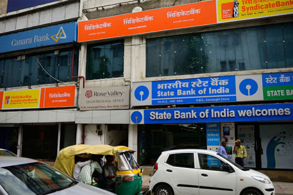
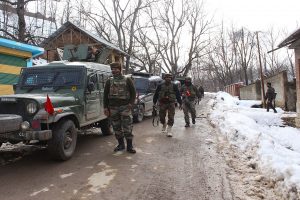
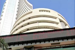
Representing image (Photo: Getty)
The state government will set up an information bank regarding the condition of roads, both in rural and urban areas by using a geographic information system (GIS).
It may be recalled that chief minister Mamata Banerjee in the recently held administrative review meeting had pulled up senior officials and asked them to black list contractors for making poor quality roads that will develop potholes within five years after their refurbishment.
Advertisement
The state government has so far set up 12,000 km of roads in 22 districts, under the Pathashree project. The state government has given nod for construction of another 11,885 km at an estimated cost of Rs 3,476 crore, under the Pathashree 3 scheme.
Advertisement
The state government has taken up a special drive to complete construction of roads that had to be kept in abeyance for the Lok Sabha election.
By using GIS the state government will be able to find out the condition of roads and will be able to pull up contractors for using poor quality construction material that will lead to developing cracks or potholes on the roads.
People from rural areas have applied for construction of rural roads in the chief minister’s portal. Of the 40,000 applications for the construction of rural roads, 25,000 applications have been cleared.
Communication in rural areas has improved after concrete roads have been set up in rural areas.
Advertisement